

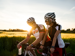
An der Traun ostwärts


Interactive elevation profile
Create PDF
Tour-Details
Starting place: 4600 Wels
Destination: 4600 Wels
duration: 1h 27m
length: 33,8 km
Altitude difference (uphill): 34m
Altitude difference (downhill): 36m
Lowest point: 272m
Highest point: 314m
difficulty: easy
condition: easy
panoramic view: Some Views
Paths covering:
Street
powered by TOURDATA
The route runs from the "Isola Bella" eastwards flat along the Traun via Marchtrenk (8 km) to the Pucking power station (17 km), here crossing over to the south bank and back over the Traun bridge at Marchtrenk (26 km). Return to Wels on the same route as before (34 km). Mostly low-traffic cycle path in the alluvial forest and along the dammed Traun river. Pleasantly cool in high temperatures. You can turn round at any time and adjust the time available.

")
")

Most economical season
- Spring
- Summer
- Autumn
Please get in touch for more information.
Stadtplatz 44
4600 Wels
Phone +43 7242 67722 - 22
E-Mail info@wels.at
Web wels.at/rennrad
http://wels.at/rennrad
Interactive elevation profile
Create PDF
Tour-Details
Starting place: 4600 Wels
Destination: 4600 Wels
duration: 1h 27m
length: 33,8 km
Altitude difference (uphill): 34m
Altitude difference (downhill): 36m
Lowest point: 272m
Highest point: 314m
difficulty: easy
condition: easy
panoramic view: Some Views
Paths covering:
Street
powered by TOURDATA