

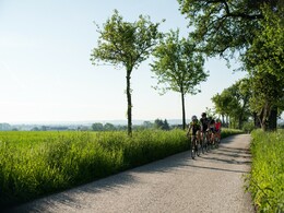
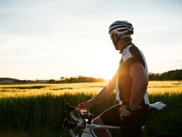
Tour mit Bergwertungen im idyllischen Rodltal


- culinary interesting
- Flatly
- Possible accommodation
Interactive elevation profile
Create PDF
Tour-Details
Starting place: 4600 Wels
Destination: 4600 Wels
duration: 8h 0m
length: 116,0 km
Altitude difference (uphill): 749m
Altitude difference (downhill): 746m
Lowest point: 257m
Highest point: 591m
difficulty: difficult
condition: difficult
panoramic view: Great panorama
powered by TOURDATA
Scenic road bike tour into the lower Mühlviertel. In the idyllic Rodl valley, there are some challenging climbs and mountain climbs, otherwise a varied tour along the Große Rodl, across the Danube back to Wels.
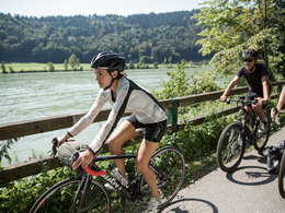
The tour starts directly on the River Traun at Isola Bella, heading out of the city centre past the Welios Science Center in the direction of Krenglbach with the Schmiding Zoo and Aquazoo and the Evolution Museum. Via Eferding and Hinzenbach - with its ski jump - to Pupping and the Schaunberg castle ruins in Aschach an der Donau across the Danube.
From Bad Mühllacken, the route continues along the Tiefenbach to Lacken and after Herzogsdorf into the Rodltal valley along the Große Rodel to Walding. After Goldwörth, the tour leads along the Danube for a while and then back via Kichberg-Thening, Oftering and Holzhausen to return to the city centre via the north to the Traun.


")


")
")


")
")


")
")
")

Most economical season
- Spring
- Summer
- Autumn
Please get in touch for more information.
Stadtplatz 44
4600 Wels
Phone +43 7242 67722 - 22
E-Mail info@wels.at
Web www.wels.at/rennrad
Web www.wels.at/tourismusregion
https://www.wels.at/rennrad
https://www.wels.at/tourismusregion
https://www.wels.at/tourismusregion
Interactive elevation profile
Create PDF
Tour-Details
Starting place: 4600 Wels
Destination: 4600 Wels
duration: 8h 0m
length: 116,0 km
Altitude difference (uphill): 749m
Altitude difference (downhill): 746m
Lowest point: 257m
Highest point: 591m
difficulty: difficult
condition: difficult
panoramic view: Great panorama
powered by TOURDATA