

St. Florian Monastery

- culturally interesting
- Flatly
Interactive elevation profile
Create PDF
Tour-Details
Path number: RR0014
Starting place: 4600 Wels
Destination: 4600 Wels
duration: 3h 29m
length: 70,0 km
Altitude difference (uphill): 576m
Altitude difference (downhill): 577m
Lowest point: 266m
Highest point: 394m
difficulty: medium
condition: medium
panoramic view: Great panorama
Paths covering:
Asphalt
powered by TOURDATA
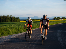
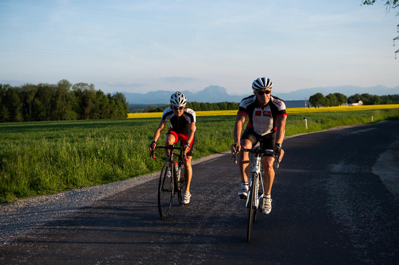
This beautiful tour to the St. Florian Monastery, passes golf courses and beautiful farms. The first part is peppered with a few short and crisp climbs. As soon as you reach the monastery in St. Florian, however, most of it is done and you can enjoy a leisurely ride back to Wels, partly along the Traun cycle path.
Route:
ISOLA BELLA - Leombach - Kematen/Krems - St.Marien - Sankt Florian - Nettingsdorf - Pucking - Traunweg - Wels
Route:
ISOLA BELLA - Leombach - Kematen/Krems - St.Marien - Sankt Florian - Nettingsdorf - Pucking - Traunweg - Wels
Would you like to use your mobile phone as a sat nav? The tours are available in the Komoot app (app for Android and iPhone can be downloaded free of charge from the store). Alternatively, you can either download the tours as GPX files and call them up on your own GPS device, or import them via the GPX Viewer app and navigate on your mobile phone.
")

Most economical season
- Spring
- Summer
- Autumn
Please get in touch for more information.
Stadtplatz 44
4600 Wels
Phone +43 7242 67722 - 22
E-Mail info@wels.at
Web www.wels.at/rennrad
http://www.wels.at/rennrad
Interactive elevation profile
Create PDF
Tour-Details
Path number: RR0014
Starting place: 4600 Wels
Destination: 4600 Wels
duration: 3h 29m
length: 70,0 km
Altitude difference (uphill): 576m
Altitude difference (downhill): 577m
Lowest point: 266m
Highest point: 394m
difficulty: medium
condition: medium
panoramic view: Great panorama
Paths covering:
Asphalt
powered by TOURDATA